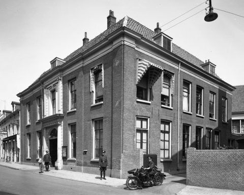
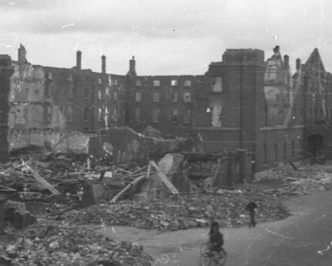
None of the original buildings that the British held on the north side of the Rhine Bridge during the Battle of Arnhem survived the war.
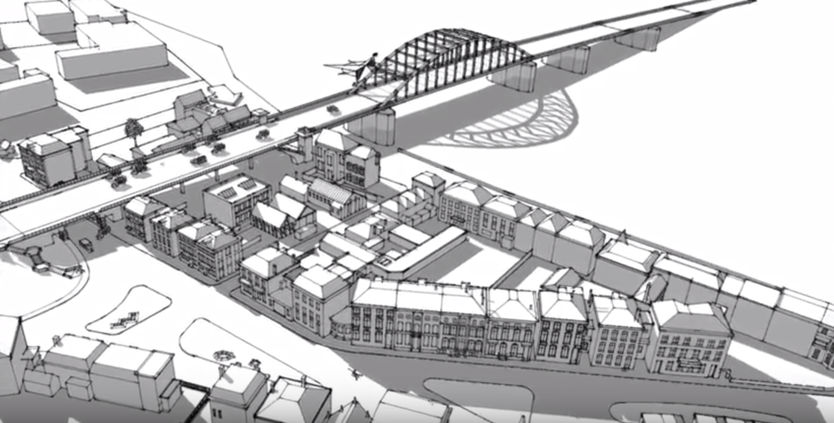
In addition to drawn maps of the situation around the bridge, several illustrative films have been made in recent years that clearly show what the area around the Rhine Bridge looked like in September 1944 and which buildings formed the British perimeter around the bridge.
The video below was made by volunteers from 3D Arnhem during the 70th anniversary of Market Garden. The seven-minute video can be seen in the Eusebius Tower, among other places. Below this is a black and white animation that clearly indicates the position of the various British units.

